
UCLA climate scientist Daniel Swain notes Monday Dec 22 that “Rain has been occurring today as high as 10-11k feet in the northern/central Sierra, and as high as 12-13k feet in the Southern Sierra. That means that only the tops of the very highest peaks of the Southern Sierra have been seeing snow today, as opposed to rain virtually everywhere else.”
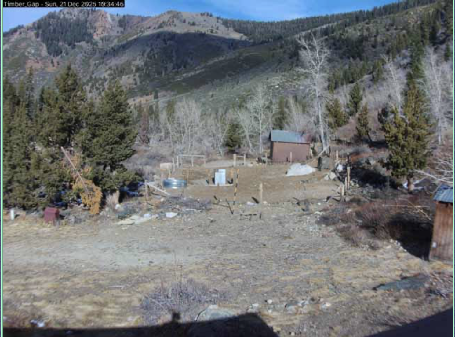
That appears to be true in the upper Kaweah River watershed in Mineral King as can be seen online on the Mineral King webcam for Dec 21 shop at the horse corral around 7800 ft.The website says “snow is gone” at the corral in the alpine valley.
Swain offers some hope that things will change later this week.” Snow levels will remain extremely high–8k to 10k feet or even higher–until early Wednesday when they will (finally!) begin to fall behind the strong cold front. Until then, nearly the entire Sierra will see rain (quite heavy, in some cases, which will further erode whatever snowpack remains below 9-10k feet). From early Wednesday onward, however, a much more seasonable airmass will allow snow levels to fall considerably to around 6k feet (or locally lower). That means that Lake Tahoe and surrounding ski resorts should finally see meaningful snowfall during this period–and that the high Sierra will see very heavy snowfall in the multiple feet.
So…for the next 48-72 hours, warm rains will continue and most of the mountain chain will be rebuilding its snowpack essentially from scratch. But I promise that Sierra snow is coming later this week!”
Cold weather is needed with China Peak ski resort reporting that is 45 degrees at the resort today.For Mineral King Valley the high today is 33 degrees dropping to a high of 11 by Friday with heavy snow forecast.