April 12,2018-
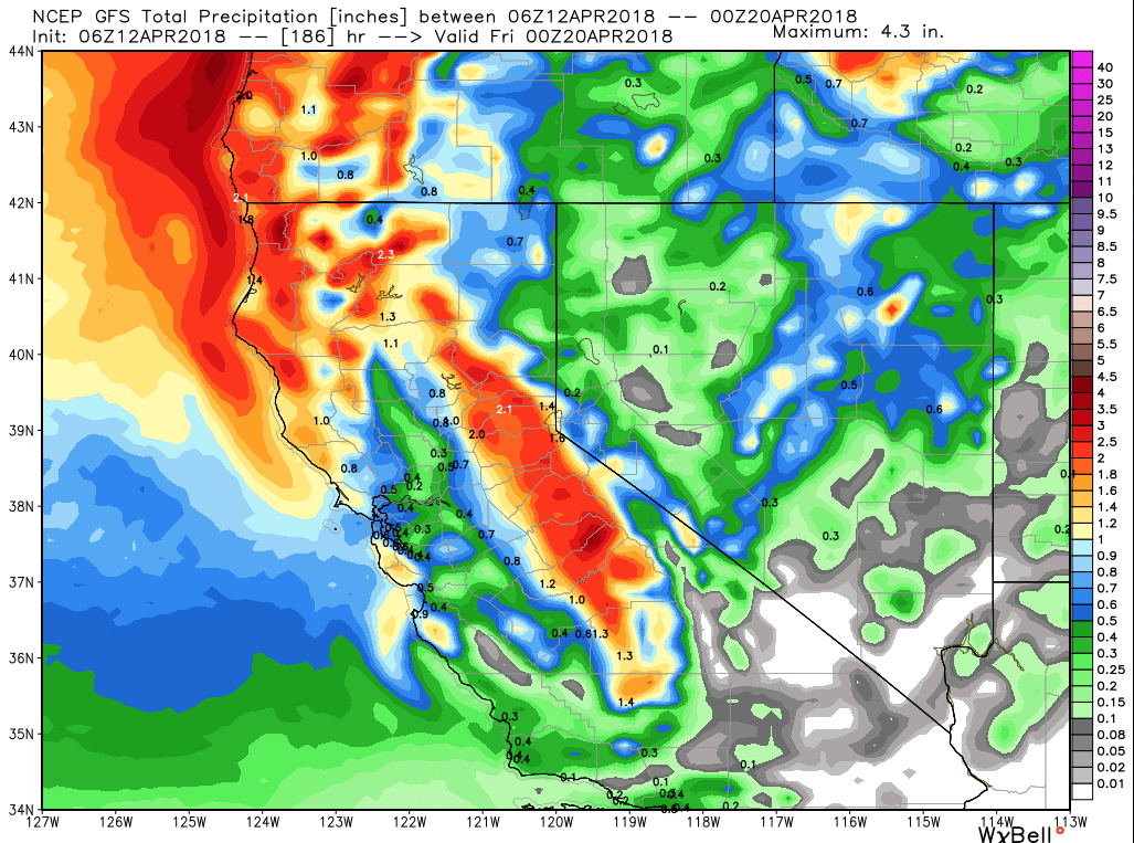
Five storms poised to move into state thru April 26
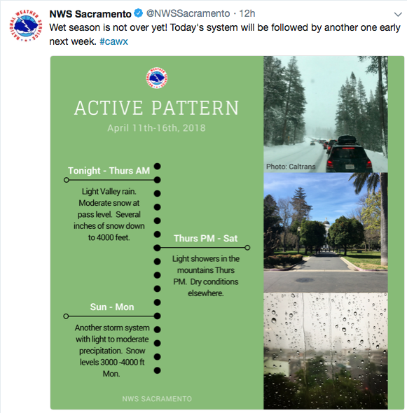
Five storms are poised to enter the state from the Pacific Northwest from April 12-26 according to GFS models. Several appear to be cooler, snow producing events suggesting winter is hanging on into spring.
Tahoe is getting another coat of white this week even as most of the popular ski resorts are pre-scheduled to close.
Snow is making an appearance further such as well.This week’s Thurs /Fri storm advertises 3-4 inches of snow at Lodgepole in Sequoia.
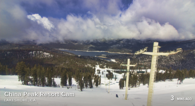
China Peak is closed for the season despite the snowy landscape around Huntington
These are all storms that not only wet northern California but crawl down the state and wet our midsection and southern Sierra. At least 2 them advertise moving down into southern California after wetting the north.
All this is good to replenish our aquifers and supply some hope for May flowers if it does not get hot too fast. For farmers it offers cooler weather requiring less early irrigation and fuller reservoirs to take us through the summer months.
For the Central Coast it means our hills wont turn brown right away.
Below is 10 day forecast