
“Strongest storm of the season”
NWS Hanford says winter storms will move across California starting around the end of the week (Jan 19) and continuing into next week. Snow is expected to fall across the Sierra Nevada with up to 12 inches with the first storm and 30 or more inches with the second.
 In the upper elevations of the Kaweah watershed they expect some 3 feet of the white stuff over the four day period, although the snow level will be high at around 7000 feet.
“This will be the strongest storm of the season so far” says forecaster Andy Bollenbacher.
“Lower elevations like around Giant Forest at 6000 feet could see a mix of rain and snow in the first storm but likely all rain in the second storm.” But at higher elevations in the Kaweah watershed
it will be a good snowmaker, the first of the season.
Hanford ’s weather service says “The first of two back to back systems will impact us Friday night through Sunday
morning, and will bring widespread rain to the San Joaquin Valley and snow to the Sierra Nevada, with the snow levels remaining consistent at around 7,000 feet.”
This system will be the weaker of the two, and there are probabilities for many areas in the Valley to see a quarter of an inch or more rain.
The second low pressure system will be the stronger of the two storms, says NWS. It will come in as the first system starts to weaken, so there will be little to no gap in rainfall and snowfall. As
with the last system, widespread rainfall and snowfall will fall in the San Joaquin Valley and the Sierra Nevada, respectively. Probabilities show a 40-60% chance of many areas in the
valley south of Kern County seeing a half inch of rain Sunday. Those probabilities drop slightly to 30-50% that the same areas will again see half an inch of rain on Monday. Preliminary
forecasted rainfall totals are an inch or more for much of the Valley.
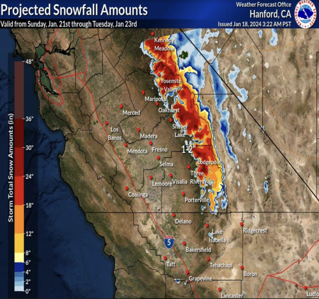 As for snow, snow levels will stay constant at around 7,000 feet, but snow totals get much higher for this second system. There is a 60-80% chance that snow totals above 7,000
feet could see a foot or more of snow, with 18 or more inches possible in the highest elevations. Much of this rain and snow will fall late Sunday night through Monday afternoon. The storm
looks to conclude by Tuesday morning.
Andy says look for dry weather to follow perhaps through the end of the month in the Central Valley.
If you plan to visit Sequoia Park, remember to carry chains.Both lanes of Generals Highway are closed between Wolverton Road in the south and Montecito Lodge in the north. Giant Forest, the General Sherman Tree, and the Wolverton snow play area are accessible from the south. It is not possible to drive between the parks, from Grant Grove to Giant Forest.
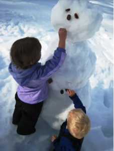
caption: To appreciate the beauty of a snowflake it is necessary to stand out in the cold.” -Aristotle
2 Attachments
• Scanned by Gmail