
From record drought, power outages and widespread fires, California changed in a week to a soggy winter wonderland
-December 4,2019-
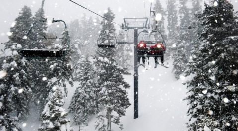
From the ski resorts up at Tahoe down to China Peak above Fresno, the Sierra landscape has dramatically changed in just a week’s time.
Fed by back to back blustery storms Tahoe has now received 7 feet of snow at many ski reports with Kirkwood reporting 46 inches in 24 hrs. Fresno County’s China Peak stands at 8 ft on the mountaintop today where there was bare dirt on the ground a week earlier.
Fresno rainfall hit a one-day record as well.Today’s extreme is dense fog.
The latest rainfall numbers were bolstered by a hose-like Atmospheric River that barreled into the Big Sur /Monterey area dropping 2.30 inches at Monterey Airport – the fifth rainiest day ever.
“We basically went from fire season to rain season in a matter of 48 hours,” said Matt Mehle, a meteorologist with the National Weather Service in Monterey. “We’re making progress, but we could still use some more rain.”
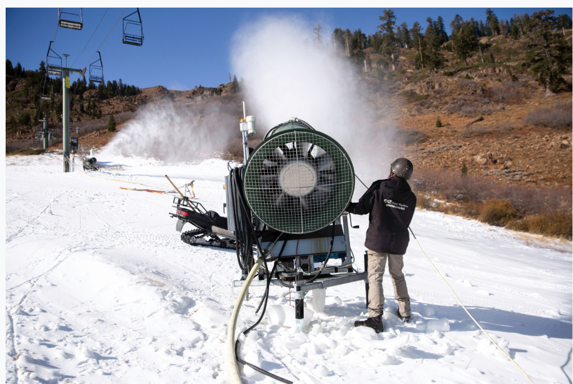
Squaw Valley resort near Tahoe was making snow a week ago on barren mountainsides and today after 7 days of storms they have some 80 inches of fresh powder on the slopes.
The Big Sur area lead the pack in rainfall with the six-day rain totals from last Tuesday through 1 p.m Monday at 14.96 inches. This is not good news for Highway 1, home to several huge mountain slides in the past few years.
Further south Big Bear Ski Resort is now open after the storm that swept down into Southern California during the Thanksgiving holiday turned it white by its opening day Friday
The resort says another 18 inches of snow fell on the mountain overnight, bringing the 48-hour total to 4 feet at the top and 42 inches at lower elevations.
In our reading area Montecito Sequoia Lodge in Sequoia NF is closed until December 21, but they have enough snow to offer cross country skiing.In Giant Forest Wolverton Snow Play Area is open for inner tubing.
Weather Whiplash
The drought-to-deluge cycle will strengthen and speed up says
Daniel Swain, a climate scientist at UCLA. Swain says California’s current weather is characterized by volatility- a kind of weather whiplash. “Essentially [it’s] referring to rapid transitions between extremes of opposing character, so between extreme wet and extreme dry. Or in this case, from extreme dry to extreme wet.”
The transition from dry to wet can be volatile itself with the last storm called a bomb cyclone by some including Swain.
“Fundamentally, the impacts of a bomb cyclone are not necessarily different from other strong storm systems, except that the fast strengthening is usually a signature of a very powerful storm system,” said Daniel Swain, Climate Scientist at the University of California, Los Angeles.
This has been going on for a few years.
One account points out “From 2011 to 2016, California experienced five years of extreme drought, during which numerous high temperature records were broken. These hot, dry years were followed by the extremely wet winter of 2016 -2017, when, from October to March, an average of 31 inches of rain fell across the state, the second highest winter rainfall on record.
All that rain meant a bumper crop of grasses and other vegetation, which, as hot and dry conditions returned, likely contributed to a combustible mix of fuels that played a role in the severe fires that have swept California in the past two years.”
These wild swings from one weather extreme to another may be par for the course in coming years. Due to climate change, Swain predicts “a 25% to 100% increase in extreme dry-to-wet precipitation events is projected, despite only modest changes in mean precipitation. Such hydrological cycle intensification would seriously challenge California’s existing water storage, conveyance and flood control infrastructure.”