
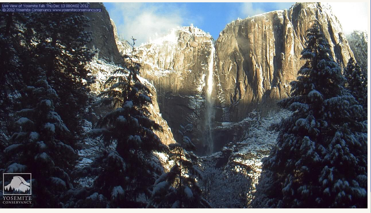
webcam shot this morning (click to view)
The unseasonably warm temps we have been seeing in California this fall are over today as snow is falling at low elevations in the southern Sierra including the Grapevine this AM.
Ski resorts up and down the Sierra have experienced good snowfall at the higher elevations but ‘nada’ down below -at the base of the resort.
Such is the case at Central California favorite China Peak above Fresno who are celebrating this morning with 15 inches of new snow and more on the way.
“This storm parked itself on China Peak for hours, dropping way more snow than originally expected. Skies are clear this morning, and should remain that way until Sunday, when another wave of snow hits us, then again on Tuesday, then again on Thursday … WINTER IS HERE!” says their website.
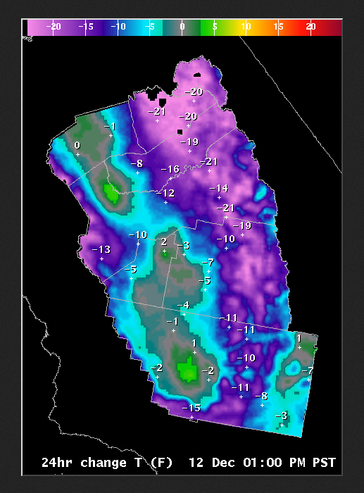
The colder average temps also enable the resort to fill spots with their snow making equipment opening more lifts.
If it is snowing at China Peak farmers are happy too with with the increasing snowpack to deliver water down the hill this coming summer.
Central Sierra water year is about 137% of average according to the state with a series of storms coming to California between now and Christmas say forecasters.N California water year is even better at about 200% of average.
NWS says” cooler than average temperatures are expected for the rest of this week.”
Up at Lodgepole above Visalia the forecast calls for more snow as well.
Great time to visit Yosemite (see webcam pic of this morning,wow!)with snow expected on the Yosemite Valley floor for up to four of the next five days.