-October 30,2019-
California could get wet November 10 & 14
Just under 2 weeks out the latest NOAA computer models are indicating a welcome break in the high-pressure that has choked California with winds and wild fire shutting off power to millions here.
The predictive map shows an increased chance of rain coming down the California coast and into the state by November 10 and again on the 14th as far south as LA (see map).
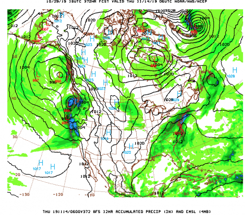
This far out there is not a lot of confidence yet in the prediction but it does offer some hope for a break in this awful pattern.
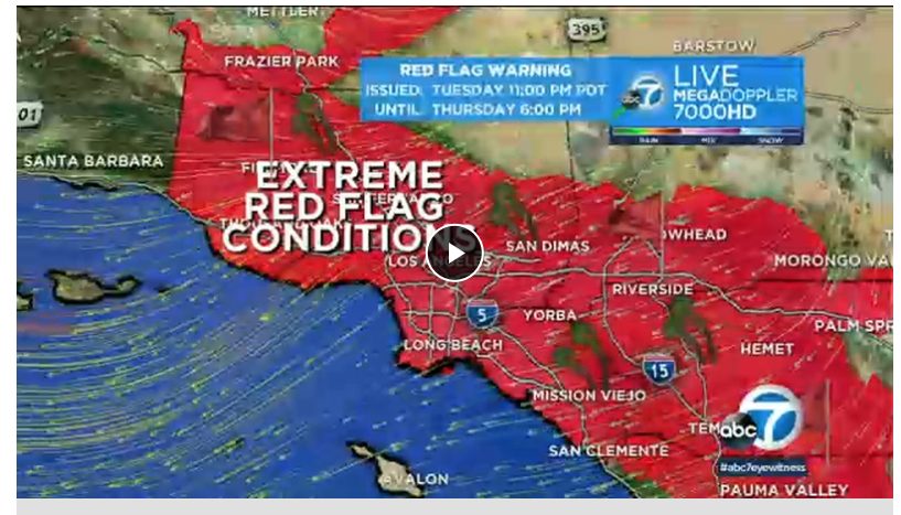
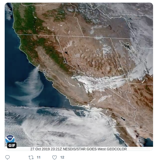 Satellite photo shows winds blowing smoke from the fire to the west just north of SF this week. Other map shows extent of record winds in southern California today.
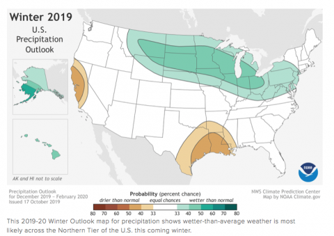
Map below shows NOAA’s winter forecast released earlier in October predicting a drier forecast for much northern California.