-January 31,2019-
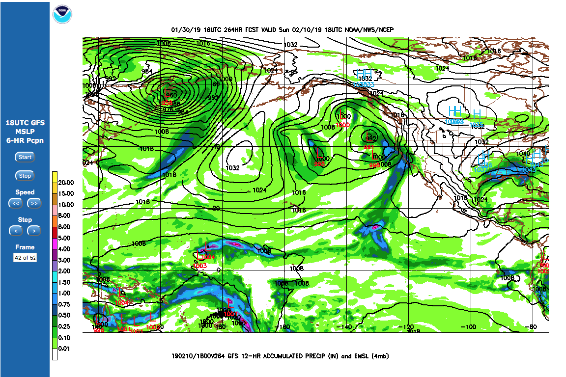
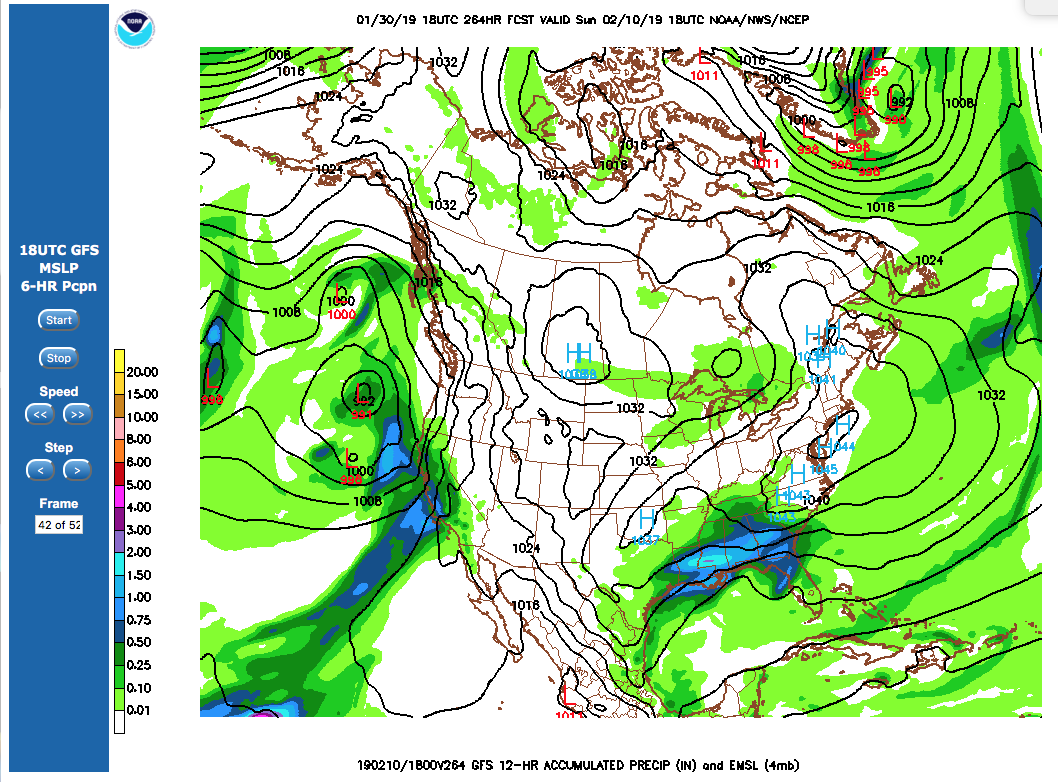
It’s still some 10 days out but multiple weather models are showing a South Pacific Atmospheric River (AR) targeting the Central Coast and all of California arriving and continuing from Feb 9-15 with multiple waves.
Like a fire hose that extends thousands off miles off of New Guinea, the storms look like they will have plenty of moisture that could causes damage when it hits the coast of California. But it could also bring much need water supply to reservoirs in the state.
Below are two GFS maps showing the event on Feb 10, the bottom map close to North America and a world weather map showing the extent of the AR stretching into the So Pacific – also on Feb 10.
Snowpack across California is about 110 percent of normal this week for this time of the year, thanks to an atmospheric river that brought heavy snowstorms to the Sierra recently says the state Department of Water Resources.