July 14,2015-
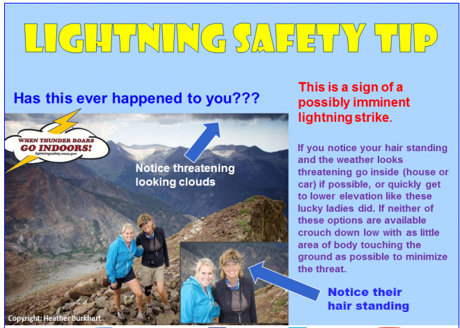
BAD HAIR DAY?
UPDATE July 15: Hurricane Dolores now appears to move west once it crawls up the Coast so no heavy precip expected in SLO
NWS says look for tropical moisture invading California to light up the skies in the Sierra bringing thunderstorms over the next week. If you are hiking in the mountains – watch the weather closely, they say.
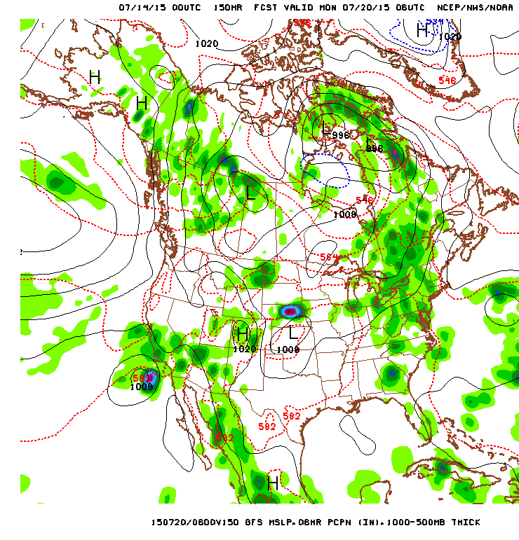
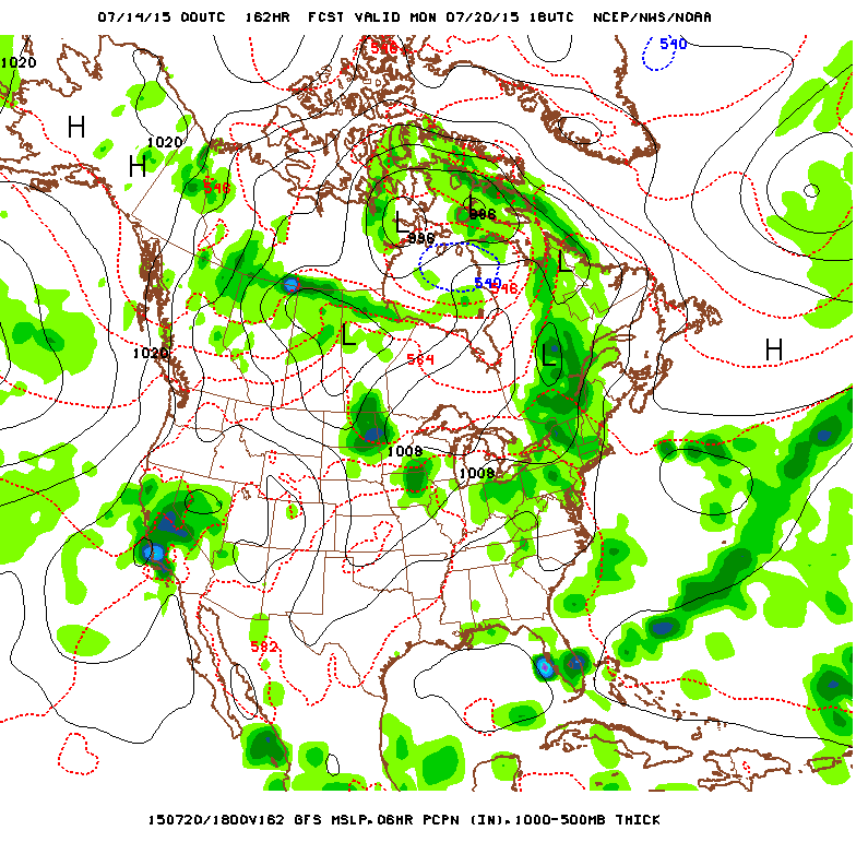
Even more impressive is the likelihood hood that Hurricane Dolores coming up from Baja will veer remnants into Central California and into the Central Valley on Monday July 20 according to some weather models.
Several forecasts show a blob of moisture coming into California from the west making land around SLO and traveling north and east to the Sierra and up the state dropping potentially significant precip in the middle of summer.
Highly unusual!
Here is what the California Weather Blog says today.
“At the same time, soon-to-be Hurricane Dolores will slowly move to the west-northwest off the coast of Baja California. There is still considerable uncertainty regarding the ultimate track of Dolores, and if the system takes a more westward trajectory, there will likely be few (in any) impacts in California. If, however, the system takes a more northerly trajectory–as recent runs of the GFS and ECMWF models suggest–prevailing southerly flow around the low off of NorCal may draw a considerable amount of remnant moisture and energy from then-former-hurricane Dolores over the state.
The GFS is suggesting the potential for a large influx of monsoonal and tropical remnant moisture over the coming 7-10 days. (NCEP via tropicaltidbits.com)
Both of these features together have the potential to produce a prolonged period of mountain and desert thunderstorms. There may eventually be a notable potential for showers and thunderstorms in coastal/valley regions, possibly including (at some point) all of the major metro areas in the state (San Diego, Los Angeles, San Francisco, and Sacramento). It’s worth noting that the remnants of decaying East Pacific hurricanes do occasionally bring warm season precipitation in California–especially during major El Niño years. The likelihood of this kind of scenario unfolding is much higher than usual this summer due to widespread record-warm ocean temperatures throughout the northeastern Pacific Ocean, and Dolores probably won’t be the last tropical system to potentially affect California before hurricane season ends in late autumn.”
Pictured: Forecast maps show (1) Dolores remnant off the Coast and (2) entering the state