
Middle California should get some nice precipitation in what could be a wet period for a week in some areas. Next weekend will likely bring potentially heavy Sierra snowfall say multiple weather forecasters.
Accuweather’s Ken Clark on November 23 said ”this easily could be the wettest period there has been so far this season.” He sets up this way.
”A cold, upper level low develops over the east-central Pacific next week and sends into California and the Northwest a series of storms. The first comes inland on Wednesday. Rain is likely in northern California down to at least part of Central California Wednesday spreading to central areas probably later in the day and night. Much of this rain may not make it into southern California though a little is possible Wednesday night or Thursday morning.” This storm is said to be more tropical in nature.
SLO forecaster John Lindsey continues that “A stronger and much wetter Gulf of Alaska storm system is forecast to move southwestward over San Luis Obispo County late Friday into next Saturday. This system is expected to produce fresh gale to possibly strong gale (39- to 54-mph) southeasterly winds along the coastline and moderate to heavy rain throughout San Luis Obispo County. Snow levels should remain above 6,000 feet.
NWS Hanford says rain is is likely at least Saturday with other days chances at 50% with the path of the storms in some flux.
The 10 day weather forecast for Sacramento has rain likely from Wednesday into the next week including Tuesday.
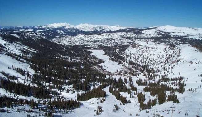
Tahoe’s Kirkwood ski report says to expect a” fire hose of moisture toward NorCal. The first of several mild, moist waves will ride in on this jet across NorCal starting late Thursday and continue through at least Sunday before there is a significant let up. The snow level will be high though with this nearly “Pineapple Express-like” pattern, peaking around 8000ft on Saturday. Eventually the offshore trough will push inland and bring with it some colder air to help drop the snow level to at least 6000ft if not lower Sunday into Monday. There should still be plenty of moisture available on Sunday to help dump a foot of more snow around the lake. Up the that point though Friday & Saturday we’re looking at mainly rain below 7000-7500ft, and lots of it. In the meantime though, the upper elevations, SW’ern facing Sierra slopes should receive several feet of wet/heavy snow (great for a base) before at least a couple more feet of lighter, more fluffy snow falls on top of it on Sunday.”